Due to the settings of your browser and in order to facilitate the functioning of the umcs.pl webpage, the cookies have been installed. By continuing to use this webpage, you accept their usage. You can change this in the settings of you browser.
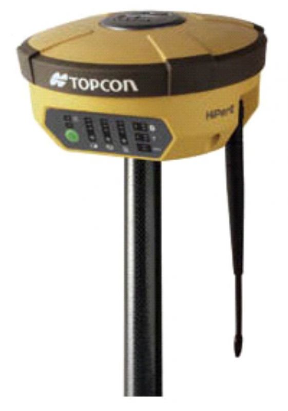
Precision GNSS positioning system Topcon GNSS Hiper II (dual system GPS/GLONASS)
application: positioning with an accuracy of less than 0,5 m in DGPS mode, 3 mm horizontally and 5 mm vertically (L1 - 4 mm) in static, 10 mm horizontally and 15 mm vertically in RTK mode
source of financing: project NCN 2011/01/B/ST10/06996 " Mechanisms of fluvial transport and sediment supply to channels of Arctic rivers with various hydrological regimes (SW Spitsbergen)"