

Modern web technologies make it possible to share spatial data in the form of vector and raster data services. Originally developed to publish data on websites, web services are now widely used in desktop applications. Thanks to this approach, it is possible to use a variety of data stored on external servers (e.g. Ortofotomapa GUGiK), without having to download huge files to a desktop computer.
The mosaic of calibrated and matched images has dimensions of 38397 x 44310 px and takes respectively: 828 MB - geoTIFF file in 8-bit grayscale and LZW compression; 3160 MB - geoTIFF file with alpha channel, masking residual fragments of the images located outside the present administrative area of Lublin.
 |
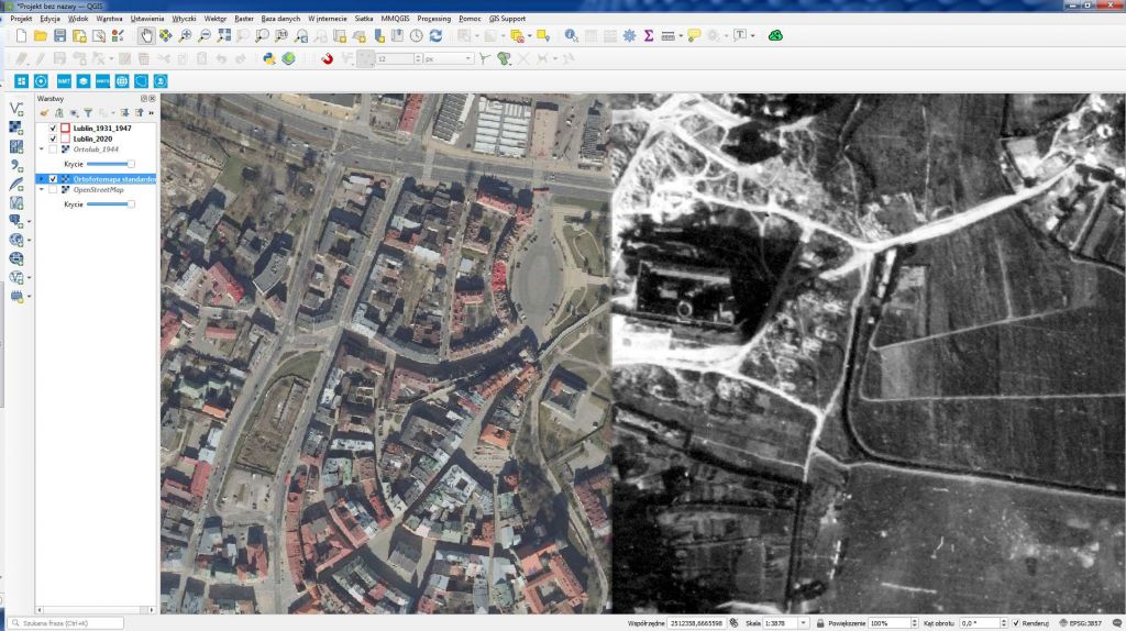 |
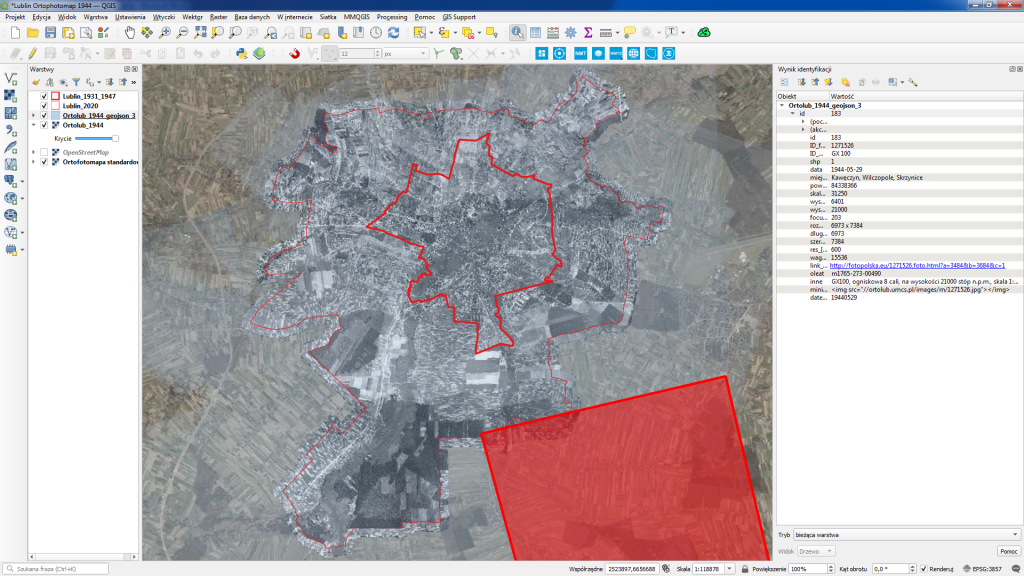
Lublin Ortophotomap 1944 is provided as an XYZ raster data service (TMS). The main file of the mosaic has been divided into a number of smaller so called tiles (png files of size 256 x 256 px) adjusted to displaying in a specific scale (levels 0-18). At the highest level of detail, the base pixel size of the completed aerial photo mosaic is 0.42 x 0.42m. Depending on the number of ground control points (GCP) used to calibrate the individual images, the accuracy of the position of the point elements varies from approximately 0.1 m (city centre) to values slightly exceeding 1 m (outskirts). The address of the XYZ service on the UMCS.pl server is //ortolub.umcs.pl/data/tiles_3857/{z}/{x}/{y}.png
 |
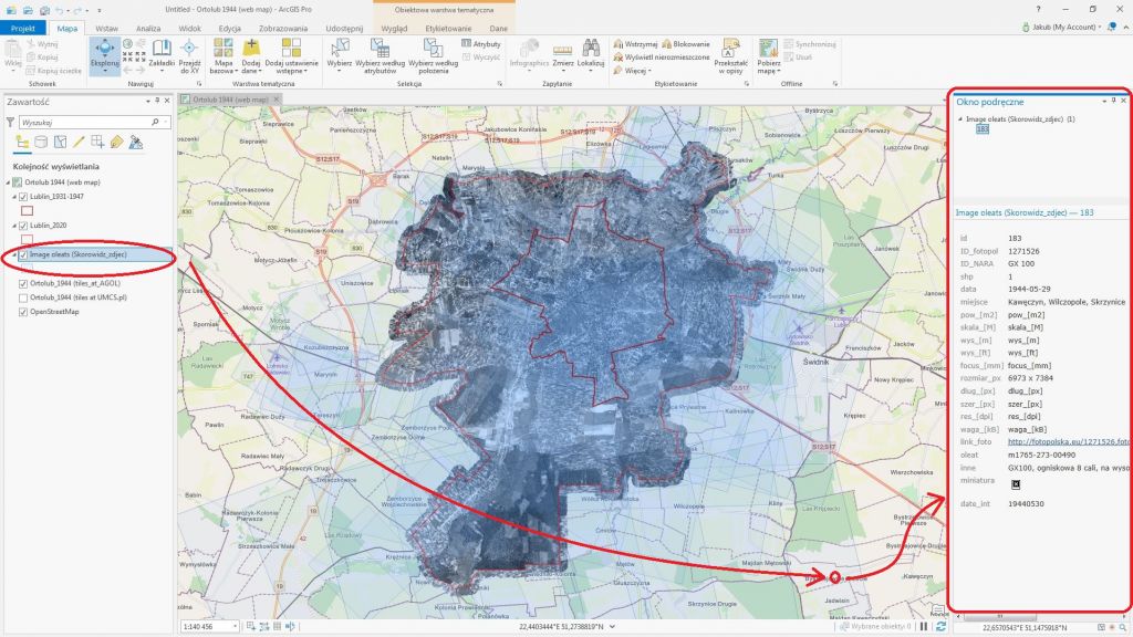 |
Below are PDF instructions with an accessible description of how to add a historical orthophotomap to the programs: QGIS 3.16, ArcMap 10.1 and ArcGIS PRO. An alternate address for tiles in the ArcGIS Online platform is //tiles.arcgis.com/tiles/STaxETJ8DGWEoQ8D/arcgis/rest/services/Ortolub_1944/MapServer


